Introduction
GPSMAP 1042xsv Keyed Networking Combo – U.S., Canada, Bahamas – No Transducer
10-inch Chartplotter/Sonar Combo Is All-in-1 Solution
- 10-inch color display with keypad interface and multifunction control knob
- Includes transducer with high wide CHIRP, 250 W and CHIRP ClearV/SideV, 455/800, 350 W (also available without transducer)
- Preloaded U.S. LakeV HD maps and BlueChart g3 charts
- High-sensitivity internal 10 Hz GPS and GLONASS receiver
- Built-in single channel CHIRP sonar, CHIRP ClearV and CHIRP SideV scanning sonar and Panoptix support (transducers sold separately)
Experience an advanced all-in-1 solution with our 10-inch GPSMAP 1042xsv keyed combo. Includes transducer for Garmin CHIRP sonar, CHIRP ClearV and CHIRP SideV (also available without transducer). It also has built-in support for Panoptix all-seeing sonar and premium Garmin sonar modules (transducers sold separately). Features a large, bright screen coupled with a quick and easy-to-use keypad interface with user-programmable keys and a multifunction control knob.
Complete Network Sharing
Garmin Marine Network support allows sharing of sonar, maps, user data, dome or open-array radar, IP cameras and Panoptix sonar among multiple units. Includes NMEA 2000 network connectivity and NMEA 0183 support for autopilots, digital switching, weather, media, VHF, AIS and other sensors.
Built-in ANT Connectivity
Enjoy built-in ANT wireless connectivity directly to quatix marine watches, Garmin Nautix in-view display, gWind Wireless 2 transducer, GNX Wind marine instrument and wireless remote controls. You can even stream and control a VIRB action camera from the chartplotter.
The Ultimate Connected Boating App
Built in Wi-Fi gives you access to the free all-in-one ActiveCaptain app, so you can manage your marine experience from nearly anywhere. It creates a simple yet powerful connection between your compatible mobile device and your Garmin chartplotter, charts, maps and the boating community. Wherever you are, you’ll have unlimited access to your cartography, the ability to purchase new maps and charts and access to the Garmin Quickdraw Contours Community. Stay connected with smart notifications on your chartplotter screen. You can also plan a trip or prefish a lake, and ActiveCaptain will automatically sync with your chartplotter. Even get notifications for software updates, and decide when to download them on your device.
Built-in Sonar Capabilities
Right out of the box, you have access to some amazing sonar capabilities; all you have to add are transducers. Comes with built-in Garmin 1 kW CHIRP sonar, CHIRP ClearV and CHIRP SideV scanning sonar. It even supports Panoptix all-seeing sonar, premium Garmin sonar modules and a wide range of transducers (sold separately).
Networked combos can share their internal sonar with any other device on the network. You can also choose what information is overlaid on the sonar screen; for example, radar, time of day or GPS speed.
Heading, Position Refreshed 10 Times per Second
Fast, responsive built-in 10 Hz GPS and GLONASS refreshes your position and heading 10 times each second to make your movement on the screen more fluid. It makes dropping up to 5,000 accurate waypoints and finding your way back to them quick and easy.
Preloaded with Exceptional Garmin Cartography
You get both LakeV HD inland waters mapping and BlueChart g3 coastal charts covering the coastal U.S. (East Coast, West Coast, Gulf of Mexico, U.S. and the Canadian side of the Great Lakes).
LakeV HD provides highly detailed freshwater maps that include 17,000+ U.S. lakes, rivers and reservoirs. Included in those are more than 13,000 HD lakes with 1-foot contours shoreline to shoreline. Upgrade toLakeV HD Ultrawith Max Def Lakes.
BlueChart g3 provides basic coastal charts, tidal and current stations, depth contours, IALA nav symbols and fishing charts.
Upgrade to Our Best Maps on the Water
Two SD card slots provide expandable memory for accessory map purchases, such as LakeV HD Ultra or BlueChart g3 HD or BlueChart g3 Vision HD, which adds Garmin patented Auto Guidanceand other great features.
Quickdraw Contours to Create Your Own HD Maps
Instantly create personalized HD fishing maps on screen with 1-foot contours. Tailor them to fit your needs. These are your maps you own them. Keep the data to yourself, or share it with the Quickdraw Community on Garmin Connect.
Built-in SailAssist Features
To help you gain a wind-maximizing competitive edge, your chartplotter features a pre-race guidance page that shows your virtual starting line along with data fields showing laylines, time to burn before the start and a race timer that can be synchronized across all your networked Garmin GPS products. In addition, other supported sailing features include an enhanced wind rose, heading and course-over-ground lines, set and drift, true and apparent wind data and more.
GPX Waypoints Transfer
If you have waypoints, tracks or frequently used routes stored on another manufacturer’s GPS product or on a Garmin handheld device it’s easy to transfer those items to your new Garmin chartplotter via industry-standard GPX software formatting.
In The Box
- GPSMAP 1042xsv chartplotter
- Power/data cable
- NMEA 2000 T-connector
- NMEA 2000 drop cable (2 m)
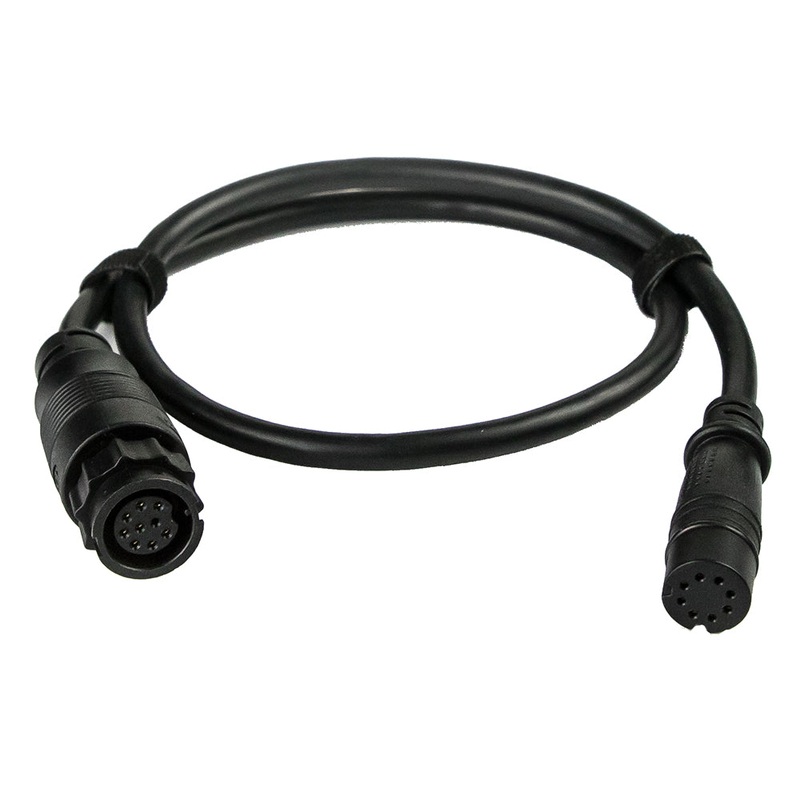
- 8-pin transducer to 12-pin sounder adapter cable
- Bail mount kit with knobs
- Flush mount kit with gasket
- Protective cover
- Trim piece snap covers
- Documentation
Connections
- Garmin Marine Network Ports: 2
- Transducer Ports: 1 (12 Pin)
- NMEA 2000 Port: 1
- NMEA 0183 Input Ports: 1
- NMEA 0183 Output Ports: 1
- Video Input Ports: 1 BNC
- Video Output Ports: No
- Wireless Connectivity: Yes
Garmin GPSMAP 1042xsv 10-inch 10-inch Chartplotter/Sonar Combo Is All-in-1 Solution
Model: 010-01740-03
UPC: 753759168322
- 10-inch color display with keypad interface and multifunction control knob
- Built-in support for Garmin CHIRP sonar and CHIRP ClearV and CHIRP SideV scanning sonars (transducers sold separately)
- Preloaded BlueChart g3 charts and LakeV g3 maps
- High-sensitivity internal 10 Hz GPS and GLONASS receiver
- Fully network capable for Garmin Marine Network and NMEA 2000 connectivity plus NMEA 0183 support
Experience an advanced all-in-1 solution with our 10-inch GPSMAP 1042xsv keyed combo. Includes transducer for Garmin CHIRP sonar, CHIRP ClearV and CHIRP SideV (also available without transducer). It also has built-in support for Panoptix all-seeing sonar and premium Garmin sonar modules (transducers sold separately). Features a large, bright screen coupled with a quick and easy-to-use keypad interface with user-programmable keys and a multifunction control knob.
Garmin Marine Network support allows sharing of sonar, maps, user data, dome or open-array radar, IP cameras and Panoptix sonar among multiple units. Plust, theres NMEA 2000 network connectivity and NMEA 0183 support for autopilots, digital switching, weather, media, VHF, AIS and other sensors.
Right out of the box, you have access to some amazing sonar capabilities; all you have to add are transducers. GPSMAP 1042xsv comes with built-in Garmin 1 kW CHIRP sonar along with CHIRP ClearV and CHIRP SideV scanning sonars. It even supports Panoptix all-seeing sonar, including Panoptix LiveScope and other premium Garmin sonar modules (transducers sold separately).
Networked combos can share their internal sonar with any other device on the network. You can also choose what information is overlaid on the sonar screen; for example, radar, time of day or GPS speed.
LakeV g3 inland maps and BlueChart g3 coastal charts provide industry-leading coverage, clarity and detail with integrated Garmin and Navionics data and Auto Guidance1 technology. LakeV g3 and BlueChart g3 include Auto Guidance1, which uses your desired depth and overhead clearance to calculate routes and provide a suggested path to follow. LakeV g3 provides coverage on more than 17,000 lakes with up to 1 contours. BlueChart g3 also includes NOAA raster cartography, available as a free downloadable feature via the ActiveCaptain app.
Accessory map purchases, such as LakeV g3 Ultra or BlueChart g3 Vision, add even more features and detail to your maps and charts. LakeV g3 Ultra and BlueChart g3 Vision add high-resolution relief shading, which provides an easy-to-interpret, clearer view of bottom structure than contour lines alone plus many other chart and map-enhancing features.
Enjoy built-in ANT wireless connectivity directly to our quatix marine watches, gWind Wireless 2 transducer, GNX Wind marine instrument and wireless remote controls. You can even stream and control a VIRB action camera from the chartplotter.
Built in Wi-Fi connectivity gives you access to the free all-in-one ActiveCaptain app, so you can manage your marine experience from nearly anywhere. It creates a simple yet powerful connection between your compatible mobile device and your Garmin chartplotter, charts, maps and the boating community. Wherever you are, youll have unlimited access to your cartography, the ability to purchase new maps and charts and access to the Garmin Quickdraw Contours Community. Stay connected with smart notifications on your chartplotter screen. You can also plan a trip or prefish a lake, and ActiveCaptain will automatically sync with your chartplotter. Even get notifications for software updates, and decide when to download them on your device.
Fast, responsive built-in 10 Hz GPS and GLONASS refreshes your position and heading 10 times each second to make your movement on the screen more fluid. It makes dropping up to 5,000 accurate waypoints and finding your way back to them quick and easy.
Instantly create personalized HD fishing maps on screen with 1 contours. Tailor them to fit your needs. These are your maps you own them. Keep the data to yourself, or share it with the Quickdraw Community on our Garmin Connect online network.
To help you gain a wind-maximizing competitive edge, your chartplotter features a prerace guidance page that shows your virtual starting line along with data fields showing laylines, time to burn before the start and a race timer that can be synchronized across all your networked Garmin GPS products. In addition, other supported sailing features include an enhanced wind rose, heading and course-over-ground lines, set and drift, true and apparent wind data and more.
If you have waypoints, tracks or frequently used routes stored on another manufacturers GPS product or on a Garmin handheld device its easy to transfer those items to your new Garmin chartplotter via industry-standard GPX software formatting.
Specifications
| Performance and Physical |
| Dimensions |
12.5″ x 7.3″ x 2.7″ (318 x 185 x 69 cm) |
| Display size |
8.8″ x 4.9″ (224 x 125 cm) |
| Display resolution |
1024 x 600 |
| Display type |
WSVGA display |
| Weight |
4.1lbs |
| Water rating |
IPX7 |
| Power consumption |
Max power usage at 10 Vdc: 32.4 W |
| Antenna |
Internal or external over NMEA 2000 |
| Mounting options |
Bail or flush |
| Receiver |
10 Hz high-sensitivity |
| Garmin Marine Network ports |
2 |
| Preloaded maps |
BlueChart g3 (coastal maps) and LakeV g3 (inland maps) |
| Accepts data cards |
2 SD cards |
| Waypoints |
5,000 |
| Routes |
100 |
| Track log |
50,000 points; 50 saved tracks |
| Tide tables |
Yes |
| Garmin Radar compatible |
Yes |
| Garmin Sonar compatible |
Yes (built-in) |
| Garmin SmartMode compatible (customizable monitor presets) |
Yes |
| Supports AIS (tracks target ships position) |
Yes |
| Supports DSC (displays position data from DSC-capable VHF radio) |
Yes |
| Garmin Meteor Audio System compatible |
Yes |
| Supports FUSION-Link compatible radios |
Yes |
| GSD Black Box sonar support |
Yes |
| GCV Black Box sonar support |
Yes |
| ActiveCaptain compatible |
Yes |
| Garmin Helm compatible |
Yes |
| GRID (Garmin Remote Input Device) compatible |
Yes |
| Wireless remote compatible |
Yes |
| Dual-frequency (50/200 kHz) sonar capable |
Yes |
| Dual-beam (77/200 kHz) sonar capable |
Yes |
| Transmit power |
1 kW traditional; 1 kW single channel CHIRP |
| CHIRP sonar technology |
Yes (Built-in) |
| ClearV |
Yes with CHIRP (built-in) |
| SideV |
Yes with CHIRP (built-in) |
| Maximum depth |
5,000 ft at 1kW (depth capacity is dependent on water bottom type and other water conditions) |
| Bottom lock (shows return from the bottom up) |
Yes |
| Water temperature log and graph |
Yes |
| Sonar recording |
Yes |
| Sonar history rewind |
Yes |
| NMEA 2000 compatible |
Yes |
| Transducer pin numbers |
12 |
| NMEA 0183 input ports |
1 |
| Video input ports |
1 BNC |
| Video output ports |
None |
| Wireless connectivity |
Yes |
What’s in the Box:
- GPSMAP 1042xsv chartplotter
- Power/data cable
- NMEA 2000 T-connector
- NMEA 2000 drop cable (2 m)
- Bail mount kit with knobs
- Flush mount kit with gasket
- Protective cover
- Trim piece snap covers
- Documentation
- 8-pin transducer to 12-pin sounder adapter cable
It has a large and bright screen, and is equipped with a keyboard interface and multi-function control knobs. It comes with built-in support for Garmin CHIRP sonar, as well as CHIRP Clear-Vu and CHIRP Side-Vu scanning sonar. The combination also supports Panoptix full-view sonar, which includes Panoptix Live-Scope real-time scanning sonar and various other sensors (sold separately). Use the built-in Wi-Fi technology to pair with the free Active-Captain app to access One-Chart, smart notifications, Garmin Quickdraw Community data and more. Garmin Marine Network support allows the sharing of sonar, maps, user data, radar, IP cameras and Panoptix sonar among multiple units. In addition, NMEA 2000 network and NMEA 0183 support network connections, including autopilot, digital switches, weather, media, VHF, AIS and other sensors. These units also include integrated ANT connectivity support, which can be used with quatix 3 nautical watches, g-Wind Wireless 2 sensors, GNX Wind nautical instruments and wireless remote controls. The LakeVug3 map and BlueChart g3 chart have Navionics data and automatic guidance technology, as well as the Quickdraw Contours software and Quickdraw community on our Garmin Connect online network.
!!!!—-
PRODUCT ID: 63440
SKU: NVN-63440
CSKU: CWR-63440
REWRITE: 74551-garmin-gpsmap-1042xsv-keyed-networking-combo
MPN: 010-01740-03
UPC: 753759168322
ASIN:
WSKU: GAR0100174003
SSKU:
KSKU: GAR100174003
GSKU:
MSKU:
LSKU: 322-0100174003
NAME: Garmin GPSMAP 1042xsv Keyed Networking Combo – U.S., Canada, Bahamas – No Transducer
NAME_EX:
PTITLE: Garmin GPSMAP 1042xsv Keyed Networking Combo – U.S., Canada, Bahamas – No Transducer
TYPE: Marine Navigation & Instruments | GPS – Fishfinder Combos
VENDOR: Garmin
Google Category:
Amazon Category:
Amazon Title:
Google Title: Garmin GPSMAP 1042xsv 10-inch Touchscreen Chartplotter and Sonar
Amazon Category:
Gtags:
GSpecs:
 FREE SHIPPING ON ORDERS OVER $30
 Sale!
Sale! 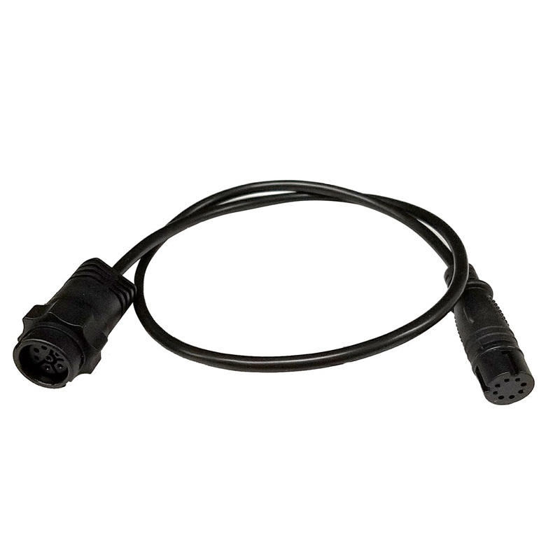
Reviews
There are no reviews yet.